To check flood risk before buying in Weston Lakes, evaluate the exact property—not just the neighborhood name. Review the current FEMA flood map, the seller's disclosure, available elevation certificates and City of Weston Lakes floodplain permits, then compare those records with the home's site, drainage, prior water history, and an insurance quote. Complete those checks early enough in the contract timeline to investigate conflicts rather than treating any single document as the final answer.
Weston Lakes includes private roads, ponds, waterways, and property-specific elevation and drainage conditions. Two homes in the same community can therefore present different questions. The goal is not to label an entire area; it is to build a verified risk file for the address you may buy.
Start With the Exact Address and Current FEMA Map
Use FEMA's official Map Service Center to search the property address and view the effective Flood Insurance Rate Map. Record the map panel, effective date, mapped zone, and whether the building footprint appears to intersect a Special Flood Hazard Area.
A map is a starting point, not a substitute for property-specific due diligence. Confirm that you are looking at the correct parcel and structure. If the map boundary runs near the house, or if an addition may not match an older map image, ask whether a survey, elevation certificate, or professional flood-zone determination can clarify the location.
Also separate two different questions:
- What does the effective FEMA map show for the structure today?
- What physical drainage or water-entry conditions can be observed or documented at the property?
A mapped zone does not describe every possible source of water, and a location outside a high-risk mapped zone is not a guarantee that flooding cannot occur.
Read the Seller's Disclosure as One Piece of the File
The Texas Real Estate Commission's current Seller's Disclosure Notice addresses material facts and the physical condition of a previously occupied single-family residence. Review the completed notice for the specific transaction and follow up on any disclosed flooding, water penetration, flood insurance, drainage, or related property condition.
The disclosure reflects the seller's knowledge; it is not an engineering report or insurance decision. Compare it with inspection findings, visible site conditions, permit records, repair documents, and your own insurance inquiry. If answers conflict or a material question remains open, obtain advice from the appropriate inspector, engineer, surveyor, insurer, lender, title professional, or attorney.
Ask for Elevation and Floodplain-Permit Records
The City of Weston Lakes says it requires a Development Permit/Flood Plain Permit for structures and buildings within the city. Its current guidance also says construction in or near a flood zone may require a pre-construction elevation certificate and that a post-construction elevation certificate is required after completion.
For a home with original construction, an addition, a pool house, or another substantial structure, ask for records that may include:
- Development or floodplain permits
- Pre- and post-construction elevation certificates, when applicable
- Surveys and site plans used for approvals
- Architectural Control Committee authority to proceed, when applicable
- Drainage, grading, or engineering plans
- Final approvals and correspondence tied to later improvements
Do not assume that an appraisal-district sketch, seller-provided plan, or homeowners-association approval proves City floodplain compliance. Match each record to the address, project scope, and completed improvement.
Inspect Drainage and Water-Management Features
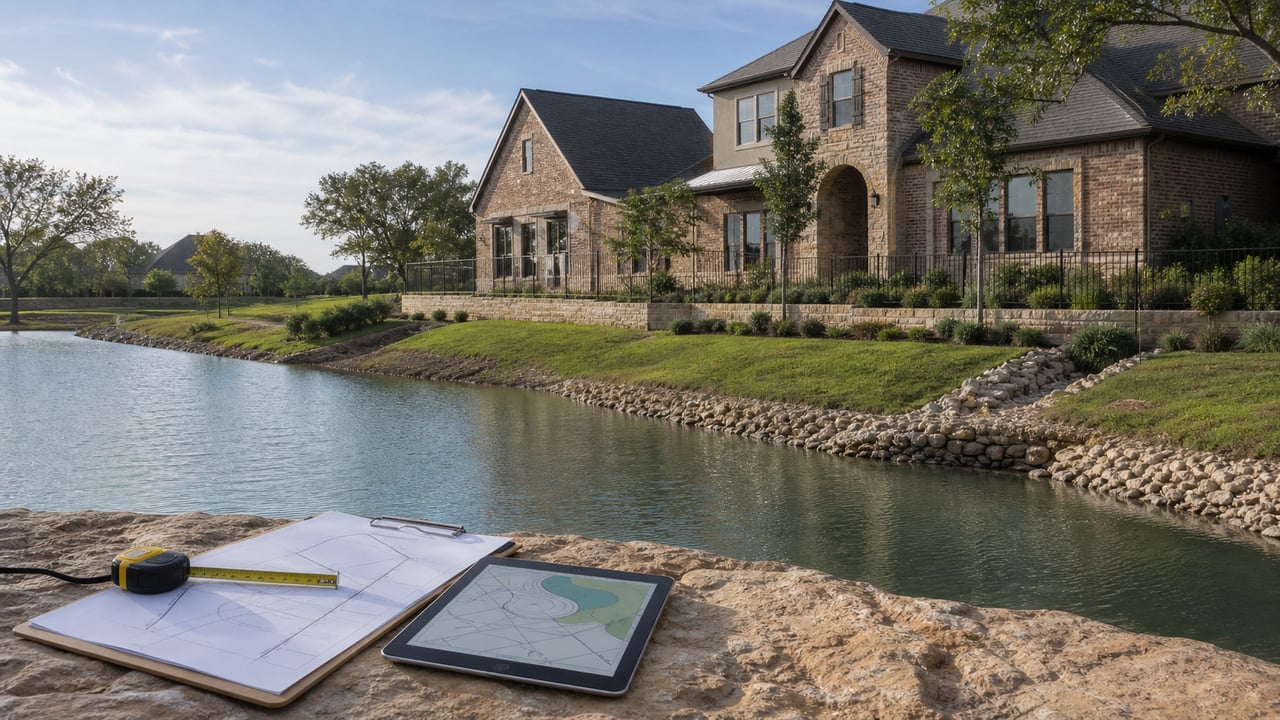
Walk the property with the inspection and documentation questions in mind. Look at the relationship between the house, lot elevation, neighboring lots, street, waterway, swales, drains, downspouts, patios, pool decking, and any retaining or shoreline features.
Useful questions include:
- Where does roof and surface water move during a heavy rain?
- Do grading changes direct water toward or away from the structure?
- Are drains visible, accessible, and apparently maintained?
- Is there evidence of prior repair, staining, replaced materials, erosion, or recurring ponding?
- Do additions or hardscape appear to have changed the original drainage pattern?
Visual observations should be documented and interpreted by the right professional. A general inspection may identify concerns, but specialized drainage, foundation, structural, roofing, pool, septic, shoreline, or engineering evaluation may be appropriate for the property.
Flood-risk due diligence works best when it happens alongside the home search. Explore current Weston Lakes homes for sale, then build a separate risk file for each address you are seriously considering.
Get an Insurance Quote Before the Deadline
Ask an insurance professional for a property-specific quote early in the contract period. Provide the exact address and any available elevation certificate, prior-loss information, roof details, and other records the insurer requests. If a lender will be involved, confirm the lender's insurance requirements as well.
Do not rely on the seller's current premium as a prediction of your cost. Coverage, deductibles, underwriting, claims history, property characteristics, and the purchaser's circumstances can affect availability and pricing. A quote is more useful than a general assumption about whether insurance will or will not be required.
Build a Decision File Before the Option Period Ends
Organize the work so unresolved questions are visible before your contractual deadlines.
Check | Record to save | Follow-up when unclear |
|---|---|---|
FEMA map | Map panel, zone, effective date, property screenshot | Surveyor or flood-zone determination |
Seller disclosure | Signed transaction form and attachments | Agent, attorney, inspector, or specialist |
Elevation | Available elevation certificate and survey | Surveyor or engineer |
Permits | City permit and supporting site plans | City of Weston Lakes Floodplain Administrator |
Site condition | Inspection photos and specialist reports | Drainage, foundation, structural, pool, or other expert |
Insurance | Written property-specific quote | Insurer and lender |
The file should help you decide what is verified, what is acceptable, and what still needs an answer. It should not turn a complex property question into a simplistic “safe” or “unsafe” label.
Compare Homes on More Than Price and Finish
When comparing Weston Lakes properties, add verified flood and drainage information to the usual questions about layout, condition, lot position, and updates. A home with organized permits, elevation records, clear drainage observations, and an early insurance quote gives you a more complete basis for a decision than a home evaluated only from photos and a map color.
That information may affect inspections, repair requests, insurance planning, lender coordination, and whether the property fits your risk tolerance. The right conclusion is property-specific.
Explore Weston Lakes Homes for Sale
I can help you compare Weston Lakes homes one address at a time, organize the due-diligence questions, and keep the contract timeline visible while you obtain answers from the appropriate professionals.
Explore Weston Lakes Homes for Sale →
Leigh Martin | Martin Collum Real Estate | TX License #592064
Frequently Asked Questions
How do I check flood risk before buying in Weston Lakes?
Search the exact address in FEMA's Map Service Center, review the seller's disclosure, request elevation and City floodplain-permit records, inspect drainage and signs of prior water entry, and obtain a property-specific insurance quote. Resolve inconsistencies before the applicable contract deadlines.
Is a home outside a FEMA high-risk flood zone free from flood risk?
No map designation guarantees that flooding or water entry cannot occur. FEMA mapping, site drainage, prior property history, elevation, construction details, and insurance information answer different parts of the question and should be reviewed together.
Does the City of Weston Lakes require floodplain permits?
The City's current permits page says a Development Permit/Flood Plain Permit is required for structures and buildings within the city. It also describes elevation-certificate requirements for construction in or near a flood zone; verify the records and rules applicable to the specific property and project with the City.
Should I ask for an elevation certificate?
Ask whether one exists, especially when a mapped boundary is close to the structure or the property has permitted work in or near a flood zone. A surveyor, insurer, lender, engineer, or floodplain professional can explain how a particular certificate applies to your decision.
Is the seller's disclosure enough to evaluate flood risk?
No. It is an important transaction document, but it reports information within its legal scope and based on the seller's knowledge. Compare it with official maps, permits, elevation records, inspections, repair history, and insurance information.
When should I request a flood-insurance quote?
Request it early enough to review coverage, cost, deductibles, and lender requirements before your relevant contract deadline. Do not assume the seller's current policy or premium will transfer or predict your terms.